
Scan To BIM
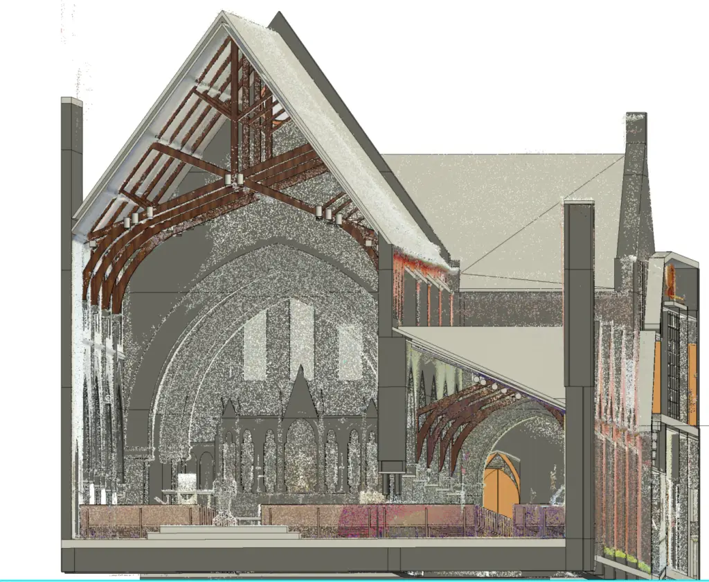
As-constructed drawings frequently suffer from obsolescence and inaccuracy, resulting in unforeseen challenges and significant project delays. Employing 3D laser scanning equips your team with point cloud visualizations, 2D CAD drawings, and 3D BIM models, facilitating dependable project planning and minimizing the likelihood of change orders and delays. GTEC3D stands out as a premier 3D laser scanning company specializing in construction site surveys and geospatial mapping services for the AEC industry. Our seasoned professionals utilize cutting-edge equipment, software, and processes to deliver top-tier as-built data, maps, and models. The precision of our 3D scanning technology ensures accurate dimensions and measurements of buildings, job sites, factories, plants, and facilities, achieving an impressive accuracy range of 2-4mm. We establish the crucial connection between unknown existing conditions and a true digital twin.